Location
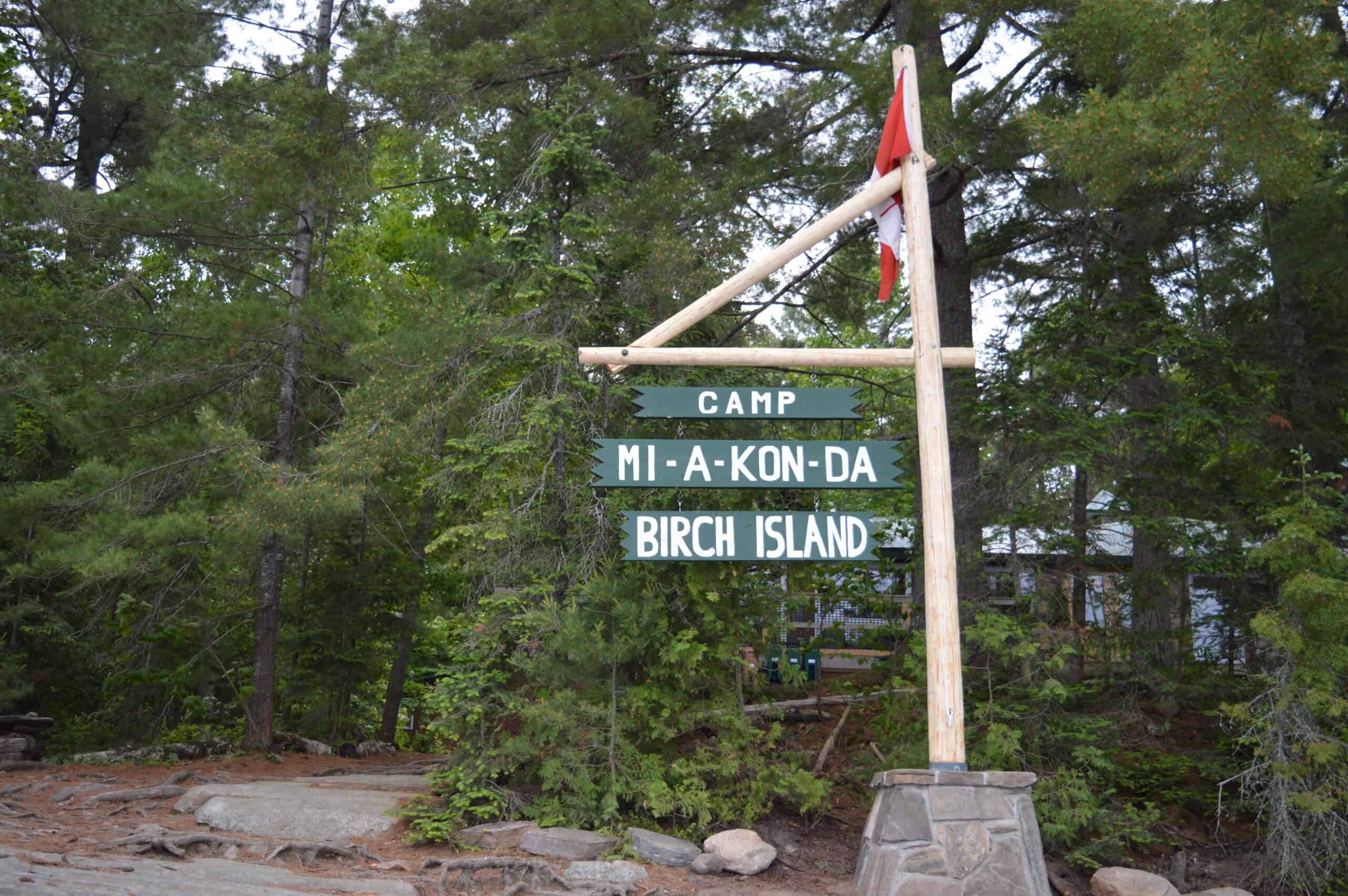
Birch Island
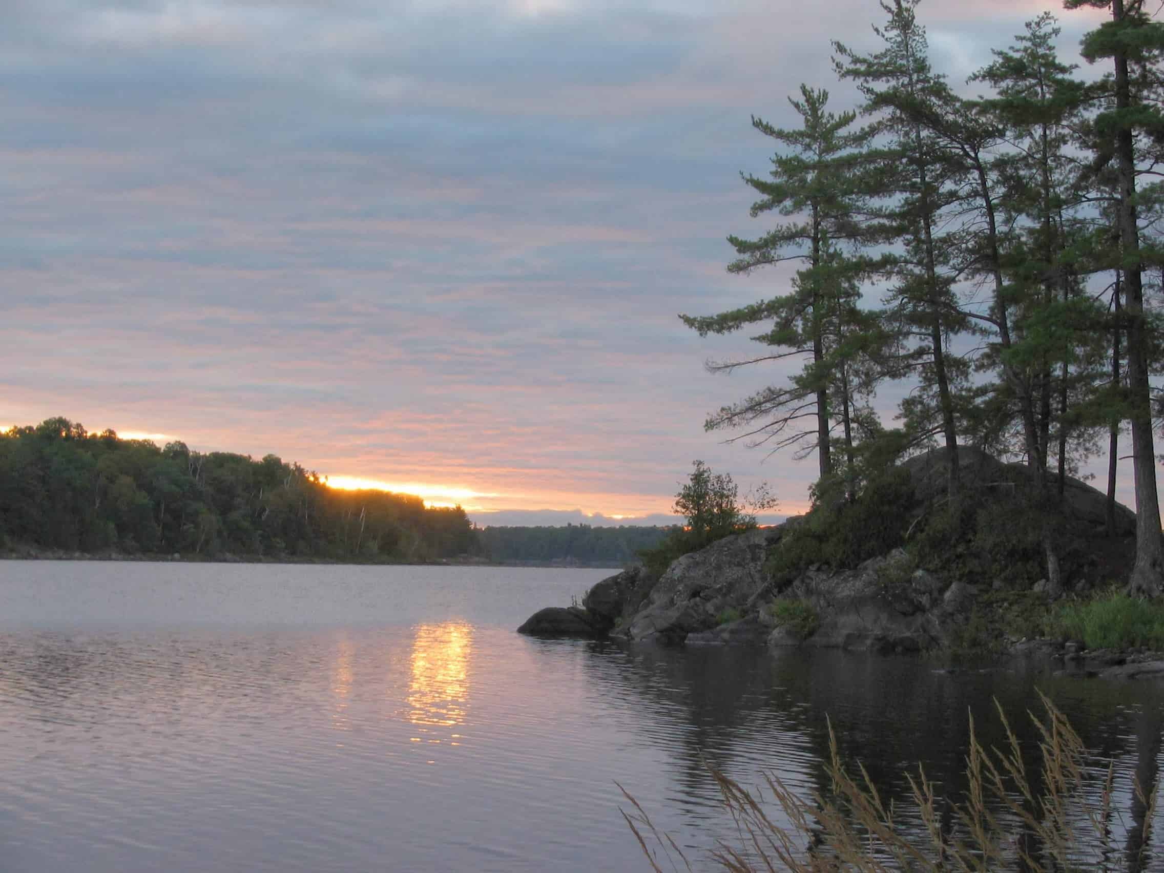
Camp Mi-A-Kon-Da is located on Birch Island, our 23-acre private property on Lake Wah Wash Kesh, 40 minutes north of Parry Sound, Ontario, Canada. Being water-access only, all visitors to the island are picked up by boat at Lamoureux Landing.
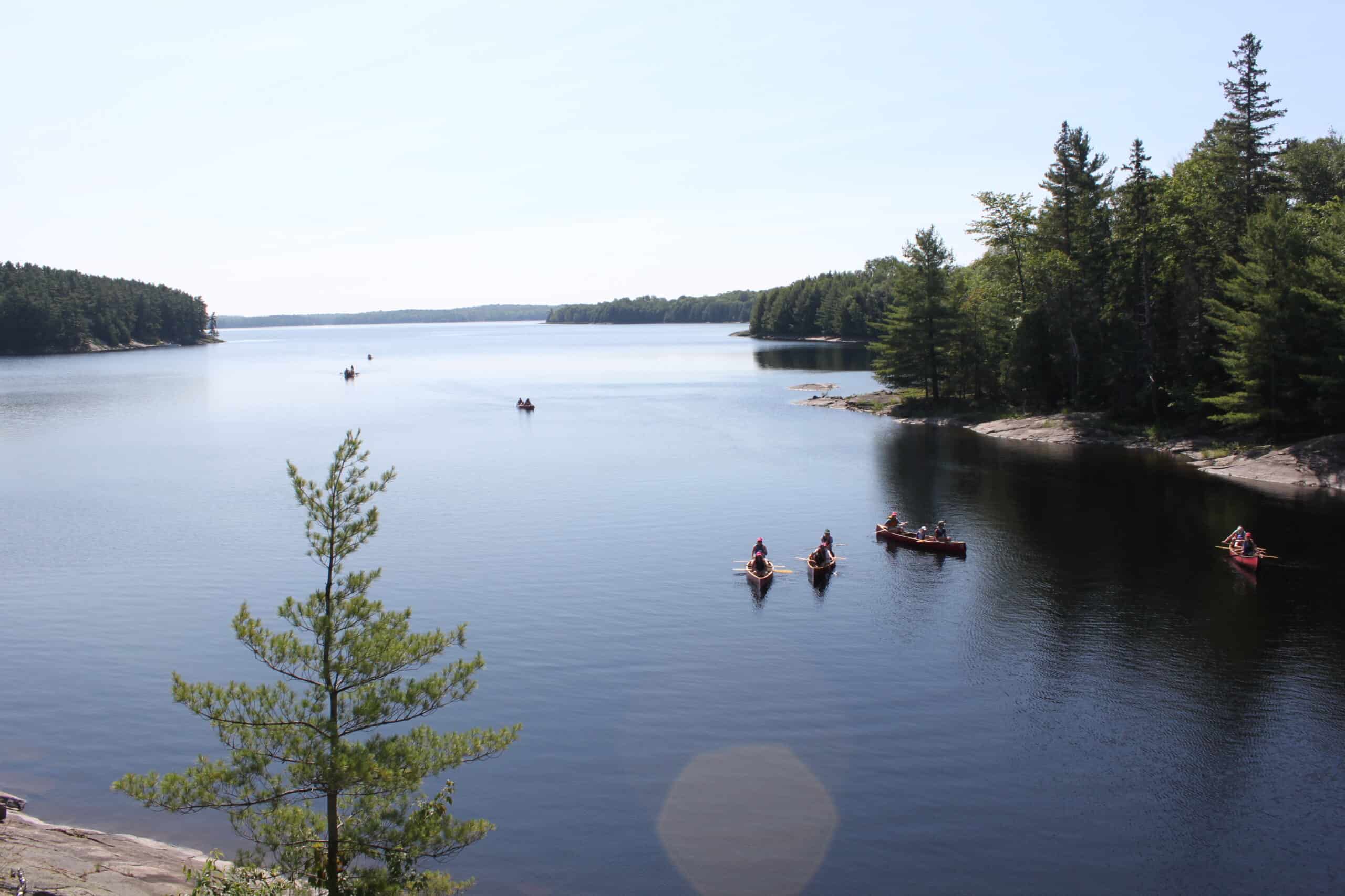
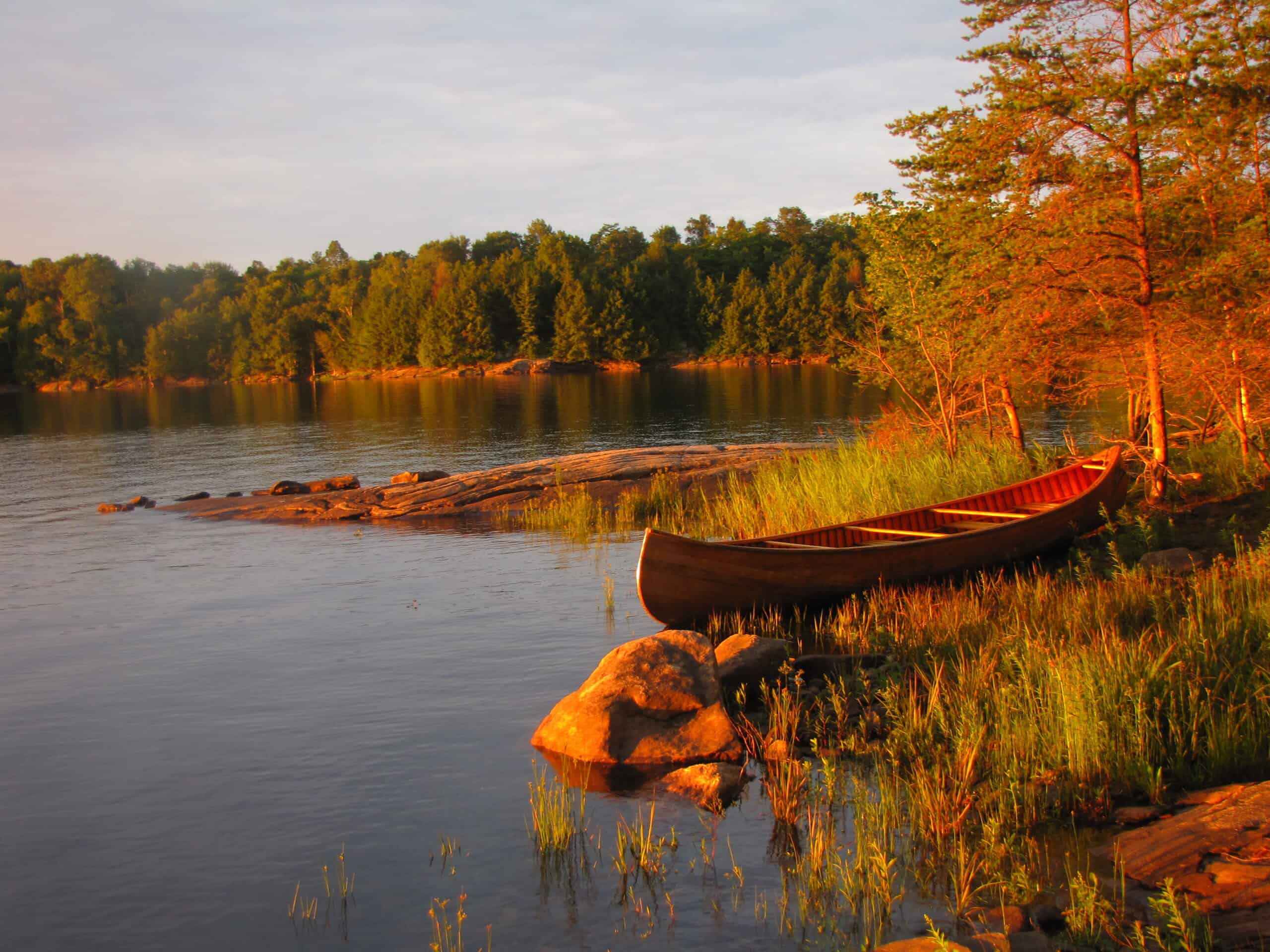
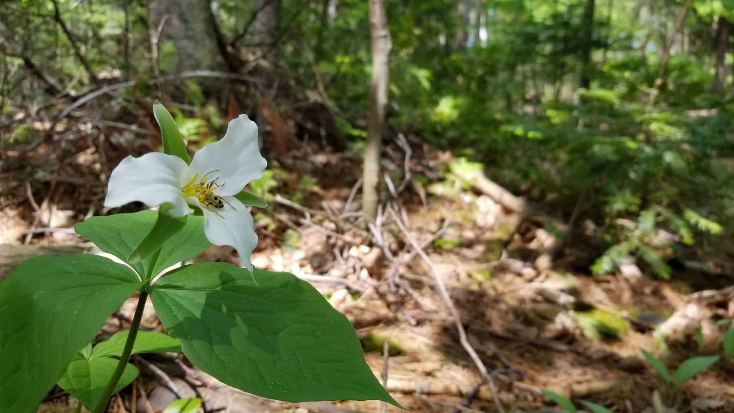
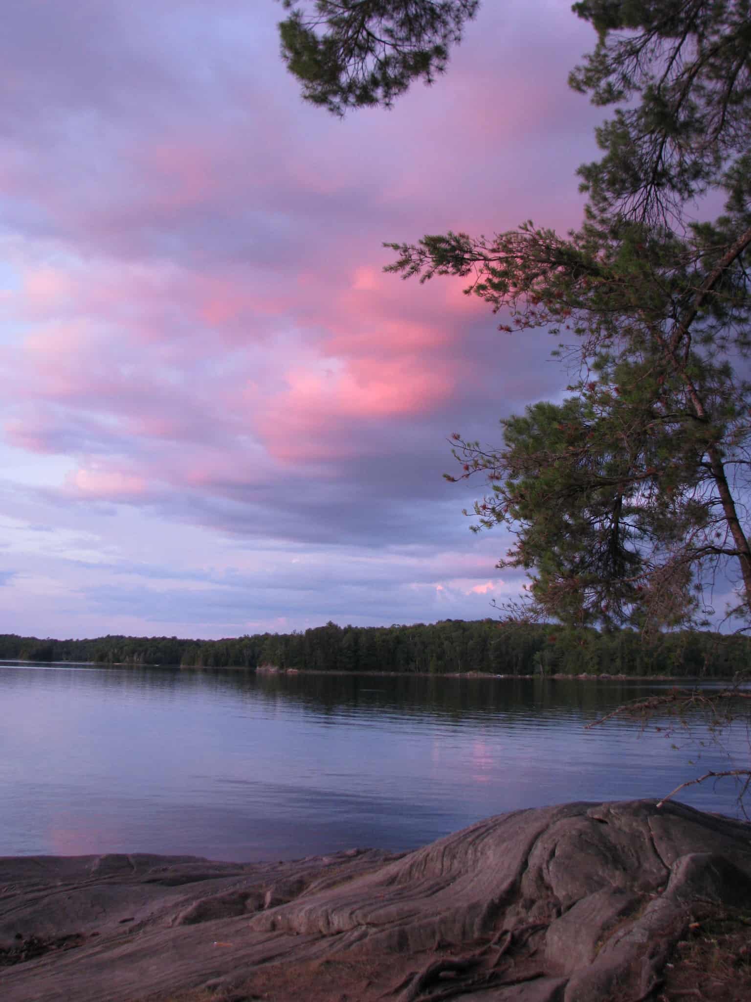
The island is covered by pine trees, granite rock shoreline and natural sand beaches. The property is exclusively used by Camp Mi-A-Kon-Da and is a quiet and safe location, free from any motor vehicle traffic. The surrounding Crown Land ensures that our end of the lake is left natural and undeveloped.
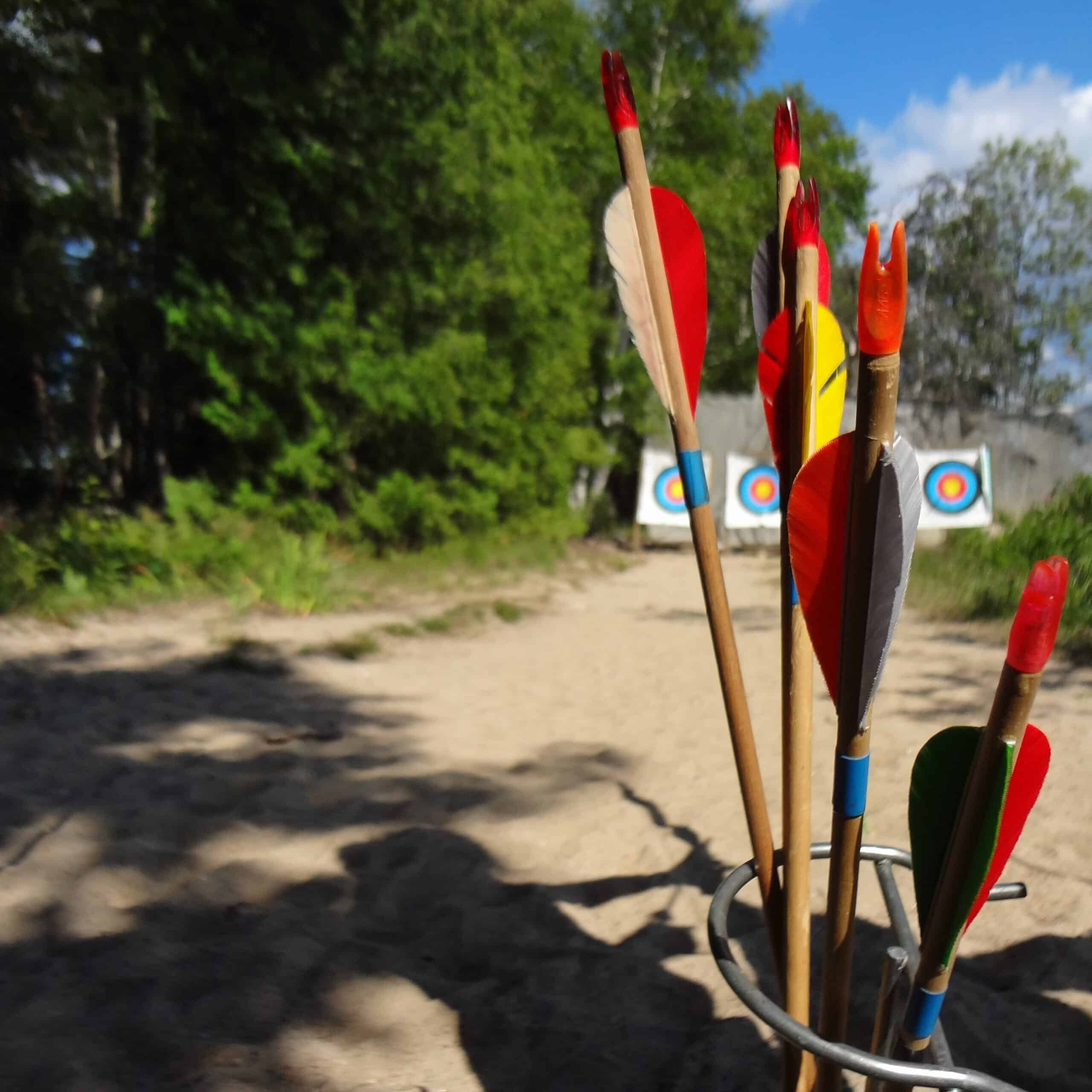
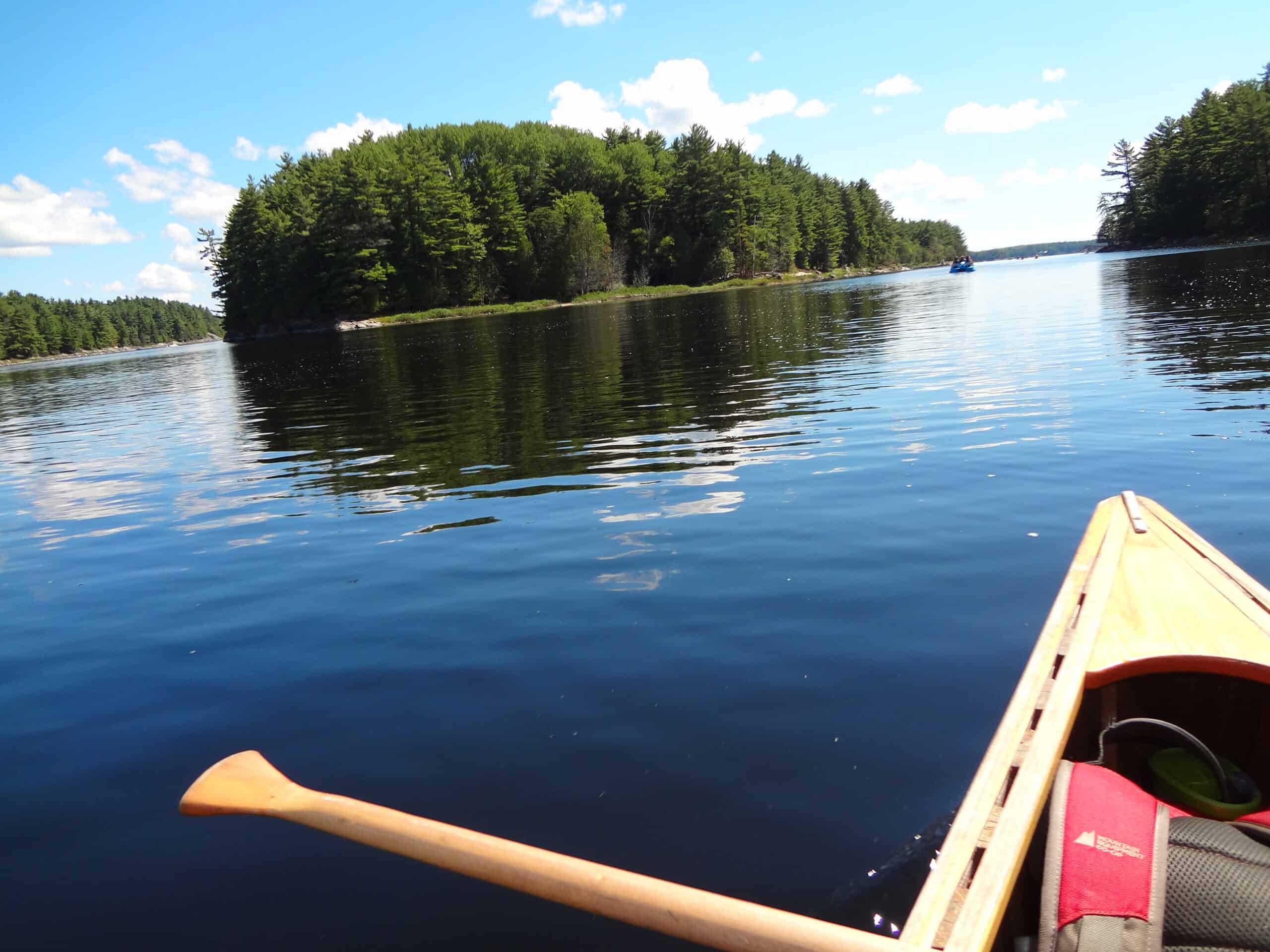
Our lush forest, sandy beaches and calm bays provide ample space for the instruction of all water and land activities. This vast wilderness is available for canoe tripping, kayaking and sailing excursions, picnicking, hiking and exploring.
Land Acknowledgement
Camp Mi-A-Kon-Da is located on Birch Island, Lake Wah Wash Kesh. We are situated within the Robinson-Huron Treaty of 1850 and Williams Treaty of 1923. We acknowledge that we are located on traditional Anishinabek Territory and we also recognize all of the local First Nations communities around us. First Nations, Métis and Inuit Indigenous Peoples have lived here on this land, what we know as North America, long before the establishment of Canada as a nation. We’re grateful for the opportunity to be here and recognize the responsibilities we have for the stewardship of this land. We thank all the generations of Indigenous Peoples, the traditional keepers of this land, who have taken great care of it for thousands of years.
Directions to Camp Mi-A-Kon-Da
Getting to Camp Mi-A-Kon-Da can be tricky your first time. Simply Googling directions to us might lead you to our Camp Office in Hamilton which is about 3.5 hours away from Birch Island.
If you are using Google Maps, instead search for Lamoureux Landing, Whitestone, ON and that will direct you to the boat launch where our boats operate our arrival and departure procedures.
You can also check out our written directions from Toronto or from Hwy 11 depending on where you’re coming from.
From Toronto, follow Highway 400 north for 200 km to Highway 124 at Parry Sound. Turn right Highway 124 and travel 10 km to Lorimer Lake Road . Turn left. Travel 3 km along this road until you come to a ‘Y’ intersection. Stay to the left and continue on this road, called the Bunny Trail, for 22 km ( you will cross 2 railway crossings). When you reach Highway 520, turn right. Travel 3.5 km to Auld’s Road and turn left. Continue 3 km until you come to the Auld’s green and white house, and bear right. Travel on the driveway (stay to the right between the house and the barn) and follow the signs to the Mi-A-Kon-Da boat landing. Our camp landing office is in the green building on the right.
From Highway 11, take Highway 520 exit at Burk’s Falls. Go through the town of Burk’s Falls and continue on Highway 520 through the town of Magnetawan. At the stop sign, turn right on Highway 124/520 (Sparks St N). After 3 km, turn left at the next stop sign to follow 124 West/520 for 15 km. Just before Dunchurch, turn right on Highway 520. Continue on Highway 520 for 18 km, taking sharp left curve at Maple Island. When you reach Auld’s Road, turn right. Follow Auld’s Road 3 km until you come to the Auld’s green and white house, and bear right. Travel on the driveway (stay to the right between the house and the barn) and follow the signs to the Mi-A-Kon-Da boat landing. Our camp landing office is in the green building on the right.
